
Badia Gran · South coast of Mallorca
Walks, beaches & day trips
Everything worth doing from Villa Ines, on one map: walks and a bike ride we recorded ourselves, plus the places we recommend to guests. Distances are approximate.
Beaches & coves
You can walk to the rocky cove; the sandy beaches need the car, from about ten minutes.
-
The cove, about 1 km from the house. Rock rather than sand, but the water is glass-clear and it is rarely crowded even in summer. Ideal for snorkelling. Water shoes make getting in far more pleasant. Not ideal for small children: no sand, a rocky entry, always supervised. The nearest sandy beach with shallow water is Platja de Palma (approx. 12 min by car).
-
A rocky beach near the Hotel Delta, with the chance to jump off the cliffs. Only adults should jump, and only after checking water depth and entry; children stay by the hand.
No fixed pin on the map: the search shows the nearest places.
-
A long, wide sandy beach with everything laid on: loungers, showers, beach bars, shallow water. Lively to loud — good with children, less good if you came for quiet.
-
A narrow inlet cut deep between high cliffs — one of the loveliest on the south coast. Reached by a long flight of steps, which makes it hard work with a toddler or a pushchair. Come early; the beach is small.
-
A long white sandy beach with turquoise water, surrounded by dunes and popular with surfers.
-
The island’s Caribbean-looking natural beach: white sand, shallow, and kilometres long. No hotels — and not much shade either, so bring a parasol. Parking costs money and fills up by late morning in high summer; be there before 10.
-
A wild, windy sandy beach in the Bay of Alcúdia, ideal for kitesurfing and for nature lovers. Far away: a day trip.
Walking & cycling
Walked and recorded by us, with real figures. You can download the GPX files.
How to read the figures
Distance, climb, descent and altitude come from our GPS recording; the altitude figures are smoothed, swings under three metres do not count. The time is walking time without breaks. We work out the level like this: kilometres plus one kilometre for every hundred metres of climb. Under 8 is “easy”, from 8 “moderate”, from 18 or from 500 metres of climb “demanding”. For “one way, not a circuit” you need to plan the way back or a pick-up. For bike rides only the climb counts: under 250 metres “easy”, from 250 “moderate”, from 600 “demanding”.
-
The flat south is good for easing in, the Tramuntana for everything else. Spring and autumn are the island’s cycling seasons; hire shops in S’Arenal and Palma. There is a place to leave bikes and basic tools on the property; cycling kit can go in the washing machine. So far we have recorded one bike ride; more routes on request.
-
Walk easy Circuit
A circuit around the hill with no drive: walk from the house to the start and back again.
- Distance
- 3.7 km
- Climb
- 210 m
- Descent
- 200 m
- Walking time
- 1 h
- Level
- easy
- Start
- on foot from the house; the start is approx. 1 km away (the walk there and back is not included)
Elevation profile
110 m0 m0 km3.7 km
For Komoot, Garmin, OsmAnd, Wikiloc and other apps. Without clock times or heart-rate data. The file is simplified: apps work out distance and altitude themselves and differ by a few per cent, a little more on short routes.
-
Walk moderate Circuit
The longer circuit through the area around Badia Gran and Puig de Ros, within walking distance of the house.
- Distance
- 8.4 km
- Climb
- 230 m
- Descent
- 230 m
- Walking time
- 1 h 55 min
- Level
- moderate
- Start
- on foot from the house; the start is approx. 1 km away (the walk there and back is not included)
Elevation profile
141 m0 m0 km8.4 km
For Komoot, Garmin, OsmAnd, Wikiloc and other apps. Without clock times or heart-rate data. The file is simplified: apps work out distance and altitude themselves and differ by a few per cent, a little more on short routes.
-
Walk moderate One way, not a circuit
On foot from the house towards sa Torre. A one-way route, not a circuit: plan the way back or a pick-up.
- Distance
- 6.2 km
- Climb
- 190 m
- Descent
- 210 m
- Walking time
- 1 h 35 min
- Level
- moderate
- Start
- on foot from the house; the start is approx. 1 km away (the walk there and back is not included)
Elevation profile
142 m0 m0 km6.2 km
For Komoot, Garmin, OsmAnd, Wikiloc and other apps. Without clock times or heart-rate data. The file is simplified: apps work out distance and altitude themselves and differ by a few per cent, a little more on short routes.
-
Walk easy Circuit
Through the village to the cliffs and back – the evening walk, when the sun is low.
- Distance
- 3.5 km
- Climb
- 130 m
- Descent
- 130 m
- Walking time
- 50 min
- Level
- easy
- Start
- on foot from the house; the start is approx. 1 km away (the walk there and back is not included)
Elevation profile
142 m13 m0 km3.5 km
For Komoot, Garmin, OsmAnd, Wikiloc and other apps. Without clock times or heart-rate data. The file is simplified: apps work out distance and altitude themselves and differ by a few per cent, a little more on short routes.
-
Walk easy One way, not a circuit
The short way up the hill behind Badia Gran, with a view over the bay – within walking distance of the house.
- Distance
- 1.8 km
- Climb
- 90 m
- Descent
- 110 m
- Walking time
- 30 min
- Level
- easy
- Start
- on foot from the house; the start is approx. 1 km away (the walk there and back is not included)
Elevation profile
44 m0 m0 km1.8 km
For Komoot, Garmin, OsmAnd, Wikiloc and other apps. Without clock times or heart-rate data. The file is simplified: apps work out distance and altitude themselves and differ by a few per cent, a little more on short routes.
-
Walk easy One way, not a circuit
A brisk walk between the hill and Badia Gran, hardly any climbing.
- Distance
- 3.3 km
- Climb
- 60 m
- Descent
- 20 m
- Walking time
- 45 min
- Level
- easy
- Start
- on foot from the house; the start is approx. 2 km away (the walk there and back is not included)
Elevation profile
139 m103 m0 km3.3 km
For Komoot, Garmin, OsmAnd, Wikiloc and other apps. Without clock times or heart-rate data. The file is simplified: apps work out distance and altitude themselves and differ by a few per cent, a little more on short routes.
-
Walk easy Circuit
A short circuit through the neighbouring villages of Maioris and Dècima.
- Distance
- 3 km
- Climb
- 120 m
- Descent
- 110 m
- Walking time
- 50 min
- Level
- easy
- Start
- on foot from the house; the start is approx. 2 km away (the walk there and back is not included)
Elevation profile
28 m0 m0 km3 km
For Komoot, Garmin, OsmAnd, Wikiloc and other apps. Without clock times or heart-rate data. The file is simplified: apps work out distance and altitude themselves and differ by a few per cent, a little more on short routes.
-
Walk moderate Circuit
The longer hike in the Cala Pi area, with some climbing.
- Distance
- 10.5 km
- Climb
- 340 m
- Descent
- 350 m
- Walking time
- 2 h 15 min
- Level
- moderate
- Start
- approx. 15 min by car · approx. 9 km as the crow flies
Elevation profile
85 m4 m0 km10.5 km
For Komoot, Garmin, OsmAnd, Wikiloc and other apps. Without clock times or heart-rate data. The file is simplified: apps work out distance and altitude themselves and differ by a few per cent, a little more on short routes.
-
Walk easy Circuit
Along the water around Cala Pi, hardly any climbing, little shade: take sun protection and water.
- Distance
- 6.1 km
- Climb
- 110 m
- Descent
- 110 m
- Walking time
- 1 h 35 min
- Level
- easy
- Start
- approx. 18 min by car · approx. 11 km as the crow flies
Elevation profile
56 m3 m0 km6.1 km
For Komoot, Garmin, OsmAnd, Wikiloc and other apps. Without clock times or heart-rate data. The file is simplified: apps work out distance and altitude themselves and differ by a few per cent, a little more on short routes.
-
Walk moderate One way, not a circuit
A route through the hill country north of Llucmajor.
Note: a stretch of approx. 0.3 km is missing from the recording (GPS dropout). Distance and climb cover the recorded part only.
- Distance
- 6.5 km
- Climb
- 290 m
- Descent
- 300 m
- Walking time
- 1 h 45 min
- Level
- moderate
- Start
- approx. 20 min by car · approx. 16 km as the crow flies
Elevation profile
417 m186 m0 km6.5 km
For Komoot, Garmin, OsmAnd, Wikiloc and other apps. Without clock times or heart-rate data. The file is simplified: apps work out distance and altitude themselves and differ by a few per cent, a little more on short routes.
-
Walk easy Circuit
A circuit from Algaida in the middle of the island.
Note: a stretch of approx. 0.6 km is missing from the recording (GPS dropout). Distance and climb cover the recorded part only.
- Distance
- 5.2 km
- Climb
- 260 m
- Descent
- 190 m
- Walking time
- 1 h 25 min
- Level
- easy
- Start
- approx. 25 min by car · approx. 18 km as the crow flies
Elevation profile
543 m283 m0 km5.2 km
For Komoot, Garmin, OsmAnd, Wikiloc and other apps. Without clock times or heart-rate data. The file is simplified: apps work out distance and altitude themselves and differ by a few per cent, a little more on short routes.
-
Walk easy Circuit
A flat circuit in the countryside around Campos.
- Distance
- 5 km
- Climb
- 10 m
- Descent
- 10 m
- Walking time
- 1 h 15 min
- Level
- easy
- Start
- approx. 25 min by car · approx. 20 km as the crow flies
Elevation profile
6 m0 m0 km5 km
For Komoot, Garmin, OsmAnd, Wikiloc and other apps. Without clock times or heart-rate data. The file is simplified: apps work out distance and altitude themselves and differ by a few per cent, a little more on short routes.
-
Walk moderate One way, not a circuit
Flat, at the southern tip of the island, by the salt pans of ses Salines.
- Distance
- 8.1 km
- Climb
- 30 m
- Descent
- 30 m
- Walking time
- 1 h 40 min
- Level
- moderate
- Start
- approx. 30 min by car · approx. 25 km as the crow flies
Elevation profile
8 m0 m0 km8.1 km
For Komoot, Garmin, OsmAnd, Wikiloc and other apps. Without clock times or heart-rate data. The file is simplified: apps work out distance and altitude themselves and differ by a few per cent, a little more on short routes.
-
Walk demanding One way, not a circuit
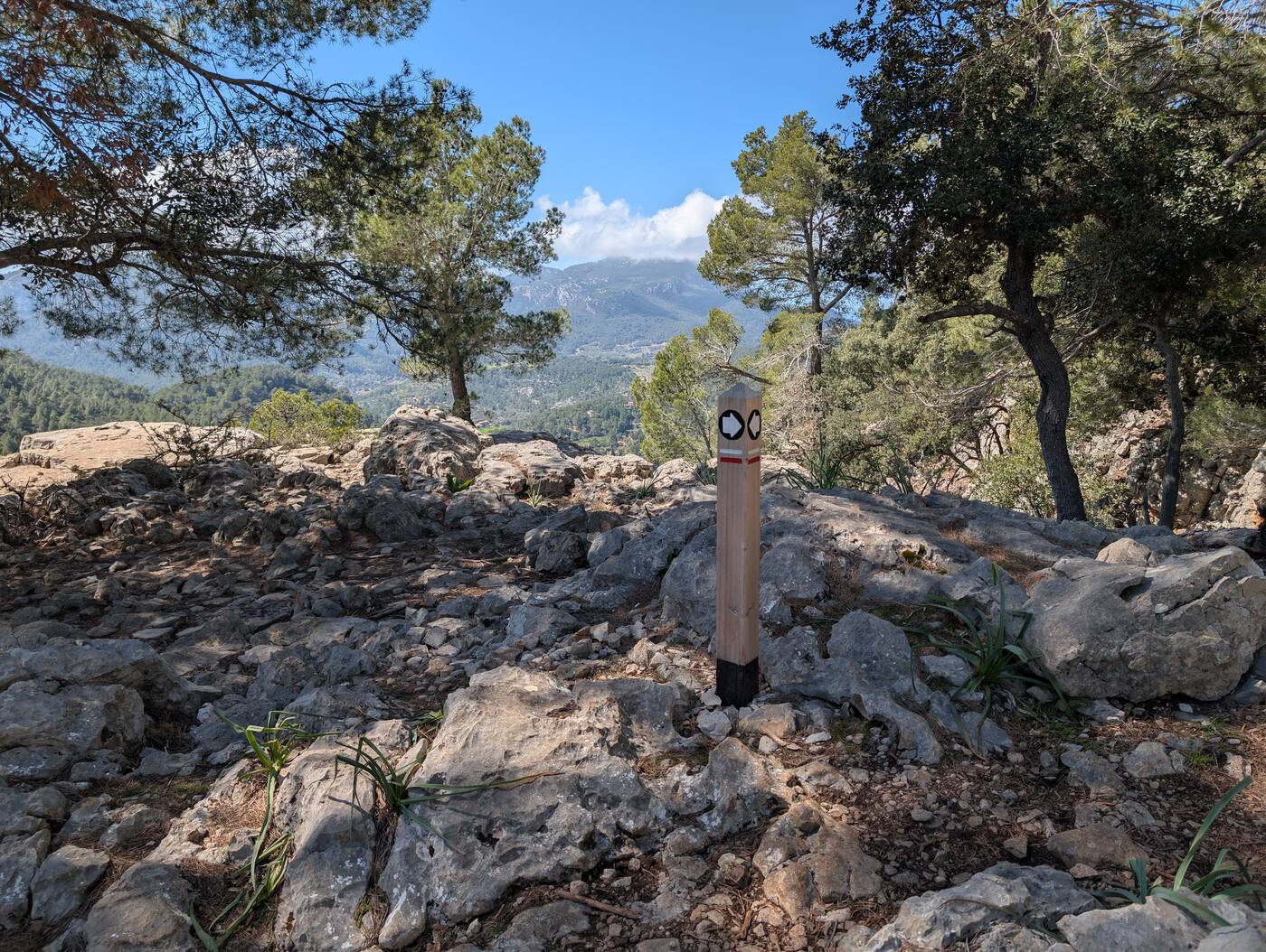
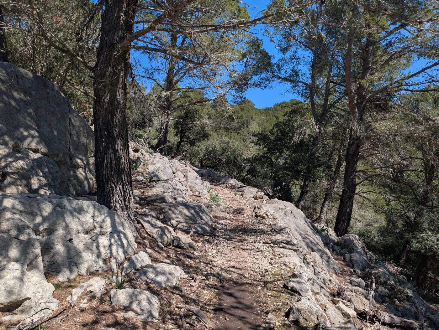
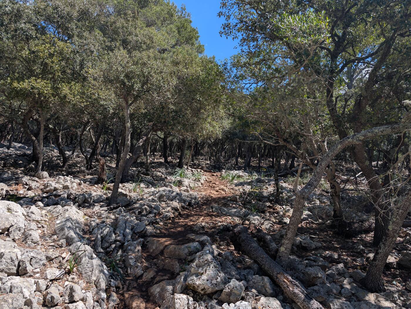
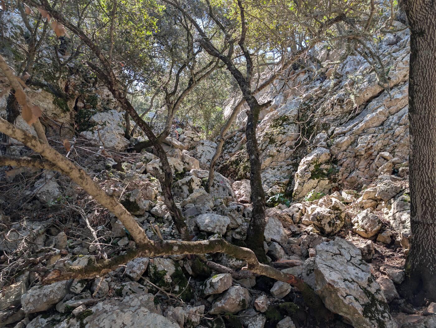
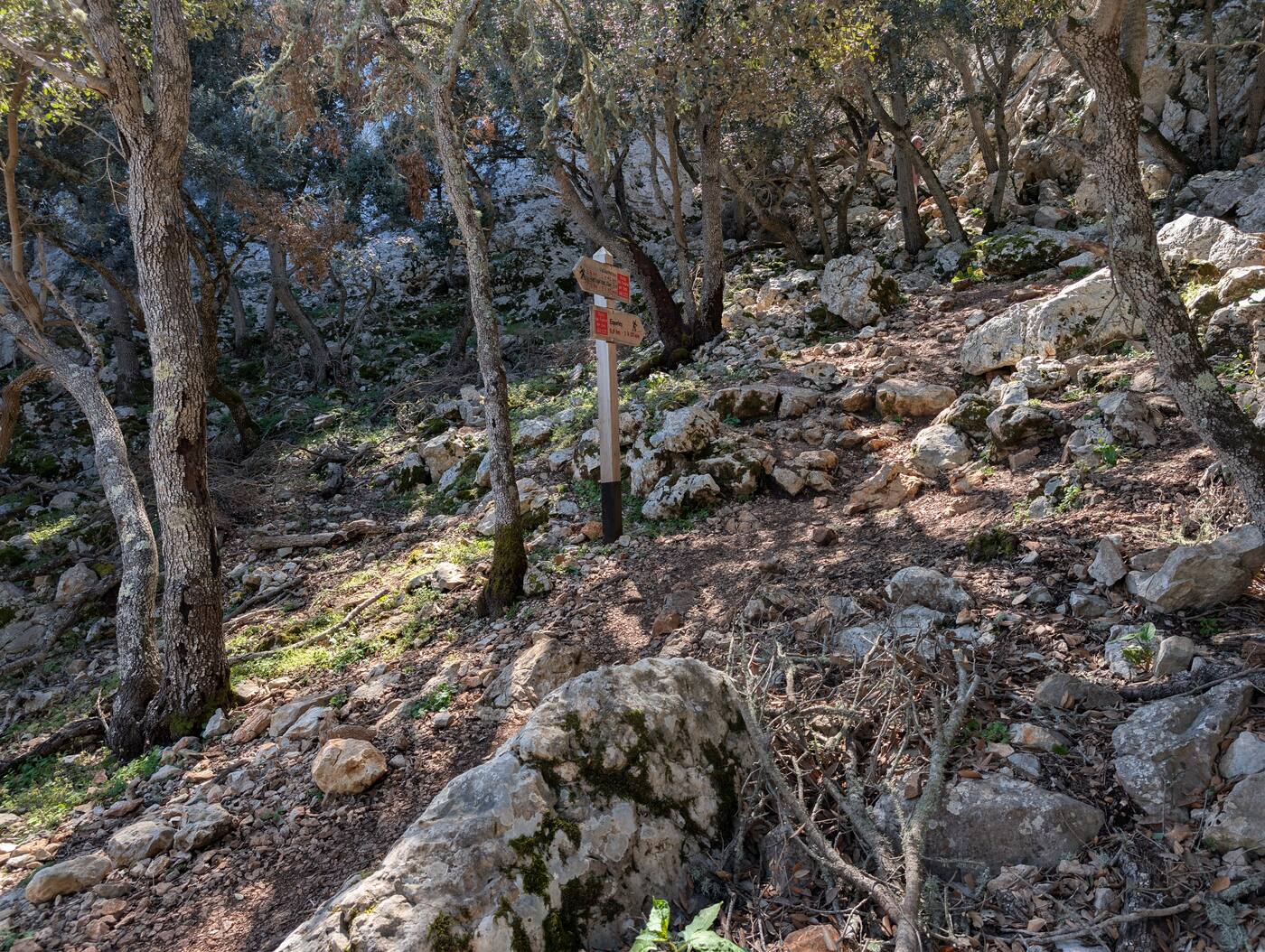
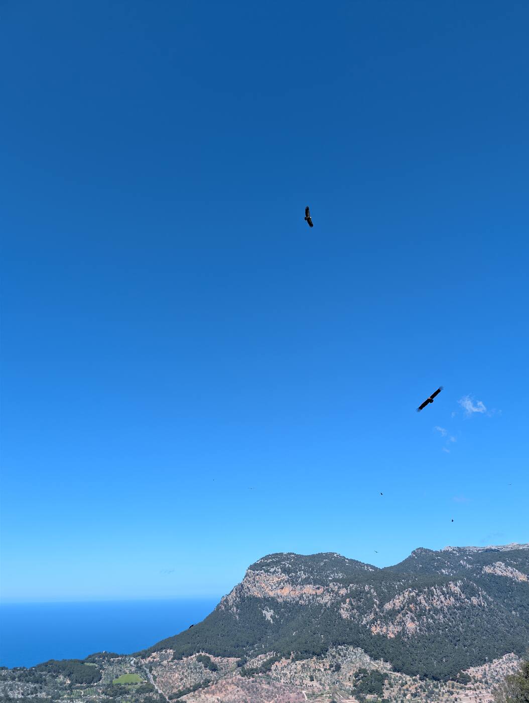
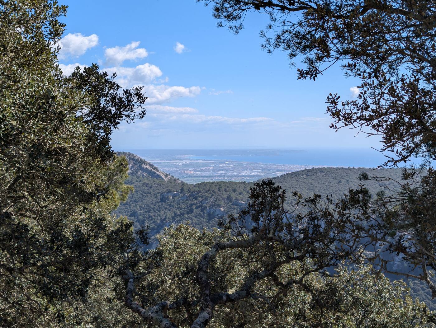
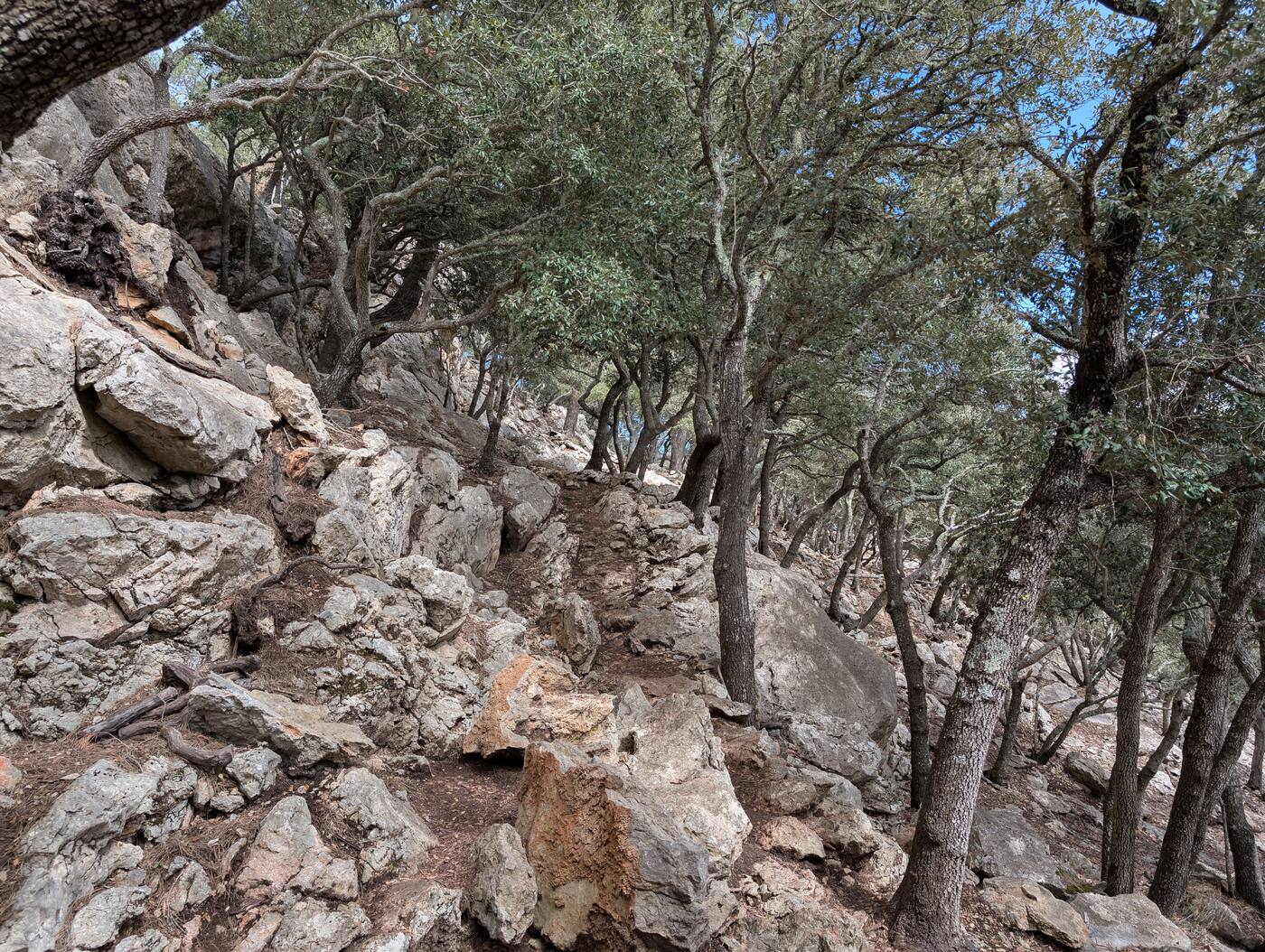
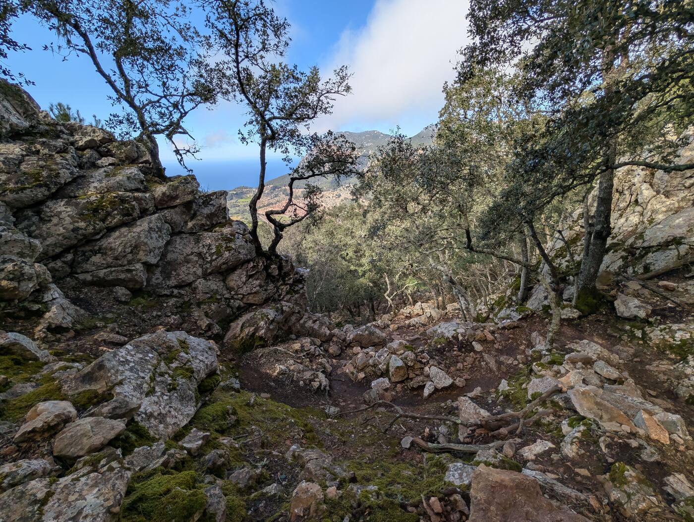
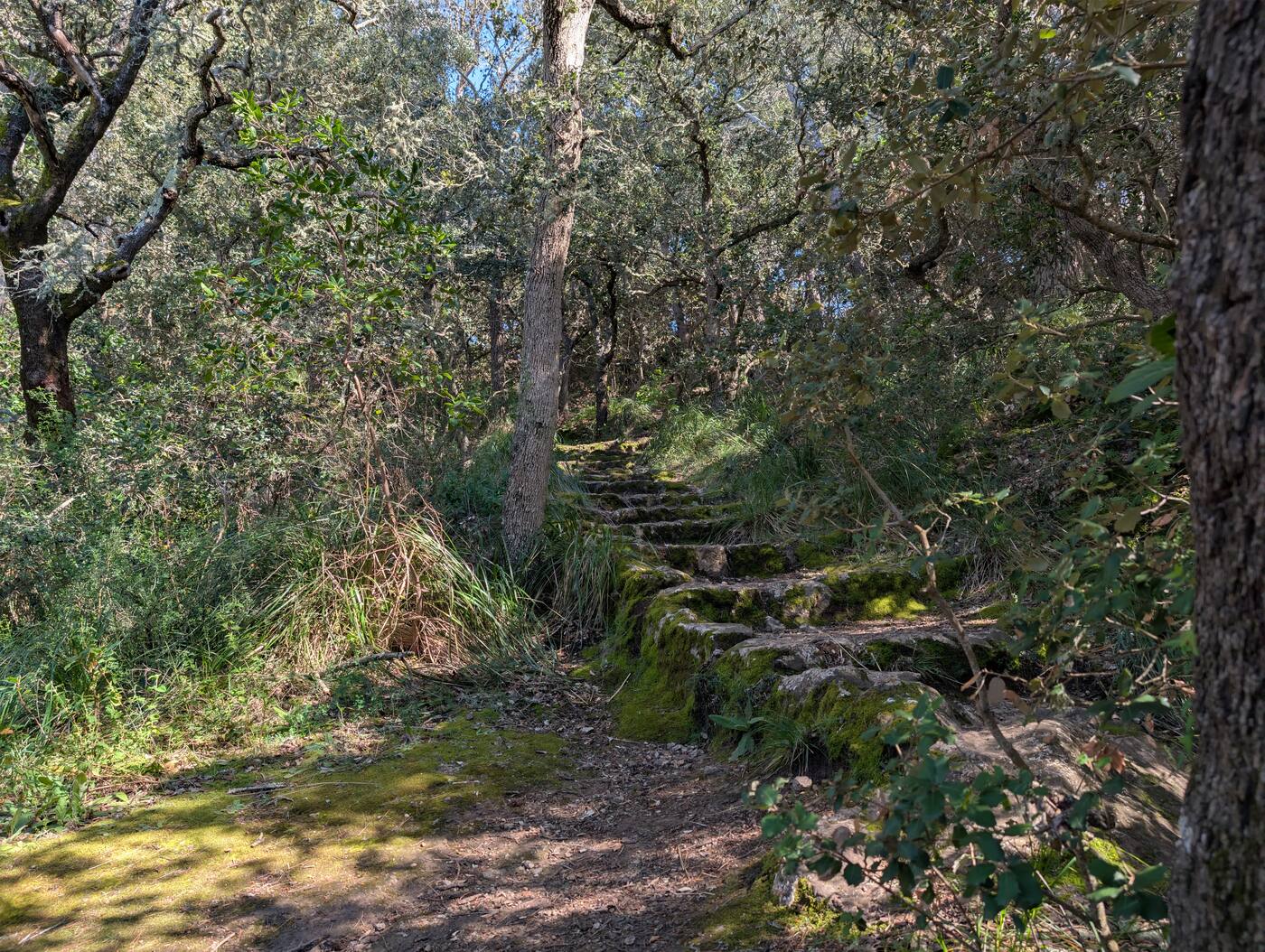
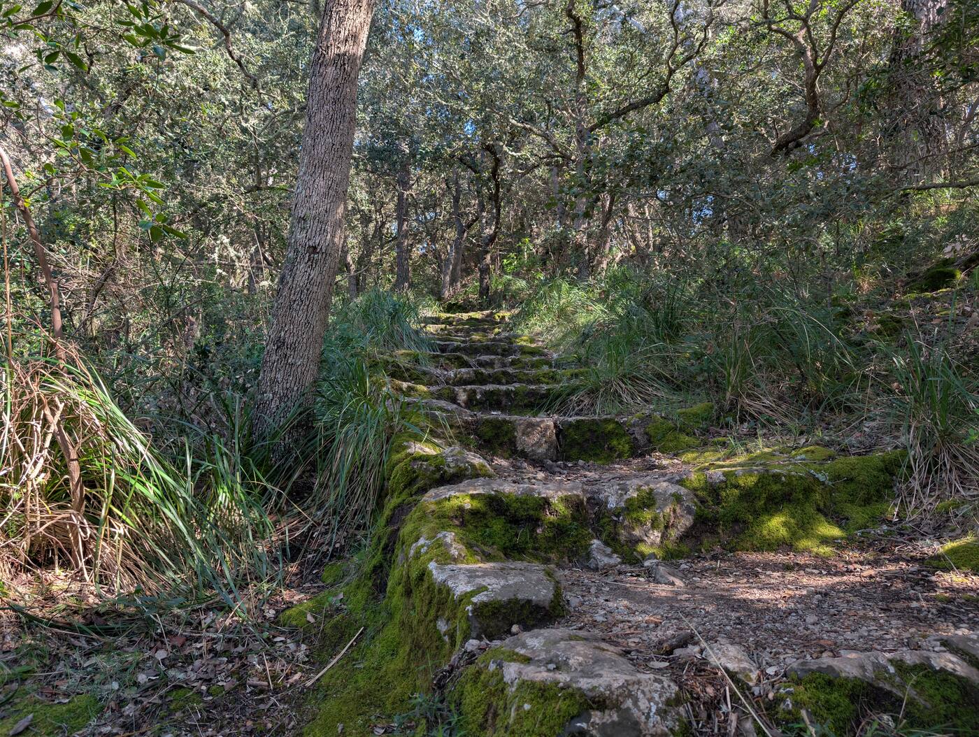
From Esporles up to Valldemossa, with photos from the trail. A one-way route: arrange the transfer back.
- Distance
- 9.6 km
- Climb
- 640 m
- Descent
- 460 m
- Walking time
- 2 h 35 min
- Level
- demanding
- Start
- approx. 1 hr by car · approx. 30 km as the crow flies
Elevation profile
689 m213 m0 km9.6 km
Photos from the walk
For Komoot, Garmin, OsmAnd, Wikiloc and other apps. Without clock times or heart-rate data. The file is simplified: apps work out distance and altitude themselves and differ by a few per cent, a little more on short routes.
-
Walk demanding Circuit
A full day in the Serra de Tramuntana: a circuit from Valldemossa with plenty of climbing. About an hour’s drive.
- Distance
- 12.1 km
- Climb
- 680 m
- Descent
- 660 m
- Walking time
- 3 h 25 min
- Level
- demanding
- Start
- approx. 1 hr by car · approx. 33 km as the crow flies
Elevation profile
942 m427 m0 km12.1 km
For Komoot, Garmin, OsmAnd, Wikiloc and other apps. Without clock times or heart-rate data. The file is simplified: apps work out distance and altitude themselves and differ by a few per cent, a little more on short routes.
-
Bike ride easy One way, not a circuit
A one-way ride from Valldemossa to Esporles, mostly downhill. For the way back to the car you need a transfer, with a bike rack if there are several bikes; feel free to ask us beforehand.
- Distance
- 13.3 km
- Climb
- 60 m
- Descent
- 310 m
- Riding time
- 30 min
- Level
- easy
- Start
- approx. 1 hr by car · approx. 33 km as the crow flies
Elevation profile
422 m110 m0 km13.3 km
For Komoot, Garmin, OsmAnd, Wikiloc and other apps. Without clock times or heart-rate data. The file is simplified: apps work out distance and altitude themselves and differ by a few per cent, a little more on short routes.
-
Walk demanding Circuit
A circuit in the hills near Bunyola, at the foot of the Tramuntana.
- Distance
- 9.7 km
- Climb
- 520 m
- Descent
- 510 m
- Walking time
- 2 h 45 min
- Level
- demanding
- Start
- approx. 1 hr by car · approx. 34 km as the crow flies
Elevation profile
812 m497 m0 km9.7 km
For Komoot, Garmin, OsmAnd, Wikiloc and other apps. Without clock times or heart-rate data. The file is simplified: apps work out distance and altitude themselves and differ by a few per cent, a little more on short routes.
-
Walk demanding One way, not a circuit
Between two mountain villages in the Tramuntana, a lot of up and down. A one-way route: arrange the transfer back.
- Distance
- 10.6 km
- Climb
- 840 m
- Descent
- 570 m
- Walking time
- 3 h 10 min
- Level
- demanding
- Start
- approx. 1 hr by car · approx. 36 km as the crow flies
Elevation profile
918 m143 m0 km10.6 km
For Komoot, Garmin, OsmAnd, Wikiloc and other apps. Without clock times or heart-rate data. The file is simplified: apps work out distance and altitude themselves and differ by a few per cent, a little more on short routes.
-
Walk moderate Circuit
A circuit near Felanitx in the east, with some climbing.
- Distance
- 6 km
- Climb
- 290 m
- Descent
- 320 m
- Walking time
- 1 h 45 min
- Level
- moderate
- Start
- approx. 45 min by car · approx. 37 km as the crow flies
Elevation profile
491 m211 m0 km6 km
For Komoot, Garmin, OsmAnd, Wikiloc and other apps. Without clock times or heart-rate data. The file is simplified: apps work out distance and altitude themselves and differ by a few per cent, a little more on short routes.
-
Walk easy One way, not a circuit
A short route at Port de Sóller, with some climbing.
Note: a stretch of approx. 0.8 km is missing from the recording (GPS dropout). Distance and climb cover the recorded part only.
- Distance
- 1.9 km
- Climb
- 100 m
- Descent
- 60 m
- Walking time
- 30 min
- Level
- easy
- Start
- approx. 1 hr by car · approx. 41 km as the crow flies
Elevation profile
93 m14 m0 km1.9 km
For Komoot, Garmin, OsmAnd, Wikiloc and other apps. Without clock times or heart-rate data. The file is simplified: apps work out distance and altitude themselves and differ by a few per cent, a little more on short routes.
With children
Also for rainy days and the hottest hours of the day. The beach in the village is rocky; the nearest shallow sandy beach is Platja de Palma, about 12 minutes by car.
-
It rarely rains on Mallorca, but when it does it means it. German TV, games and the covered terrace are all there. Options with a roof: the caves, the aquarium, the market hall in Palma.
-
Slides and pools for every age, open seasonally (roughly May to October). A whole day during which nobody asks about the wifi.
-
A large aquarium with a shark tank and an outdoor area. Two to three hours, entirely weather-proof. Best early or late afternoon.
Day trips & activities
Palma, markets, caves, the Tramuntana mountains, plus golf and watersports.
-
Hire and lessons at Platja de Palma and in the south-coast harbours: stand-up paddling, kayak, catamaran, diving. The water is calmest in the morning; the sea breeze picks up in the afternoon.
No fixed pin on the map: the search shows the nearest places.
-
Not a beach but the cliff line, with a lighthouse and a wide view out to sea. The classic spot for sunset. There are no railings: keep children by the hand and stay back from the edge.
-
The south-east of Mallorca is golf country: several 18-hole courses within reach, playable all year. Book tee times a few days ahead in high season.
No fixed pin on the map: the search shows the nearest places.
-
A traditional market in the town centre: fruit, vegetables, cheese, leather, crafts. Held several mornings a week (classically Wed/Fri/Sun) — check the times locally or on the town-hall notice. Go early; it packs up around midday.
-
La Seu on the waterfront, the lanes behind it, the Passeig del Born. A good half day. Park at Parc de la Mar or Via Roma — street parking is hopeless.
-
The other side of the island: stone villages, terraced fields, hairpin roads with sea views. A full day. For car sickness, breaks and a seat with a view ahead help.
-
The island’s best-known caves, with an underground lake and a concert in the dark. Pleasantly cool — the perfect outing for a day that is too hot or too wet. Book online or expect to queue.
Eating & drinking
From the bakery round the corner to the fish restaurant by the harbour.
-
A handful of unfussy places in the village — Spanish-Mallorcan, pizza, a beach kiosk. Nothing spectacular, but walkable and exactly right for the evening you arrive.
No fixed pin on the map: the search shows the nearest places.
-
For ensaïmada, fresh bread and a café con leche at breakfast. A small choice in the village, several proper bakeries in Llucmajor. Many close at midday on Sundays.
No fixed pin on the map: the search shows the nearest places.
-
Small harbour villages on the south coast with honest fish restaurants. Far less touristy than Palma. Book ahead on a weekend evening.
-
Palma’s going-out quarter: the market hall, tapas bars, busy streets in the evening. Pairs well with an afternoon in the old town. Use a car park rather than hunting for a space.
Shopping & practical
Supermarket, pharmacy, doctor, fuel, airport: what you look for on the first day. Emergency number across Europe: 112.
-
For bread, milk and whatever you forgot this morning. Limited range, but you can walk there.
No fixed pin on the map: the search shows the nearest places.
-
There is a pharmacy in Badia Gran; S’Arenal has more choice and longer hours. The night rota ("farmacia de guardia") rotates — the notice on any pharmacy door names the one on duty.
No fixed pin on the map: the search shows the nearest places.
-
The nearest big supermarket, on Calle de la Falzia in Puig de Ros: fresh counters and parking right at the door. The one for the big shop on arrival day. A second Mercadona is in Llucmajor (approx. 14 km).
-
The nearest petrol stations are on the road towards S’Arenal and Llucmajor, most with a cash machine. There is none in Badia Gran itself — fill up before the run back to the airport.
No fixed pin on the map: the search shows the nearest places.
-
Public health centre. Bring your EHIC card. In a real emergency always call 112 — do not drive yourself.
No fixed pin on the map: the search shows the nearest places.
-
Easy to reach on the Ma-19. Allow extra time for a morning departure: the Ma-19 backs up in rush hour. Car hire returns are signposted but sprawling.
There are no entries for this yet.
Loading the map …
Missing something?
Tell us what you are looking for: a tip for children, a longer bike route, a restaurant for twelve. We reply personally.